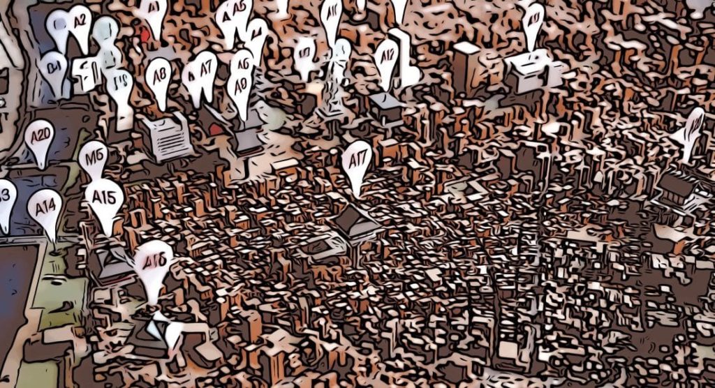
A report based on a geospatial analysis conducted by researchers from the Universidad Carlos III de Madrid (UC3M) in collaboration with TAPTAP Digital, using additional data from Predicio and Tamoco, identifies the areas in Spain that require increased measures of protection against new outbreaks of the COVID19 epidemics.
Based on their population density, Madrid and Barcelona are the Spanish cities with an increased risk of infection; however, when considering other variables, such as the rates of the at-risk population and, in particular, coverage of critical points of interest (such as hospitals, pharmacies or supermarkets), the areas requiring additional measures of protection, in particular contexts, can be identified.
The most vulnerable areas, according to the proportional concentration of at-risk groups, are Castellón, Cantabria and Gipuzkoa. Likewise, Toledo, Segovia, Salamanca, and Navarre are the areas which have the least hospital coverage in relation to their vulnerable population, according to the conclusions of the study.
“The analysis of indicators which affect the evolution of the virus or risk in a particular geographic area in isolation could lead to incorrect conclusions or biased assessments. The multi-variable rates provide a more comprehensive analysis,” the report says.
Extracting multi-variable rates facilitates a broader analysis of the evolving behavior of the COVID-19 pandemic based on several factors such as, the area, the population’s mobility or possible propagation of the virus in relation to the phased recovery of commercial and industrial activity, for example.
From 25 km to 5 km a day during isolation
At a national level, the population’s mobility decreased from 25 to 5 kilometers per person per day during the isolation period, a decrease of approximately 80%. In addition, the study finds that the restriction of all non-essential activity began to significantly affect mobility about 5 days later.
“These results can help institutions and the community analyze various indicators and better understand the COVID19 pandemic,” says one of the report’s authors, Rubén Cuevas, a professor at the UC3M’s Telematics Engineering Department. This research has been carried out as part of the TAPTAP Digital-UC3M Chair.
“Before the COVID-19 pandemic, we were able to use our geospatial engine, called Sonata Location Intelligence (LI), to gain an understanding of the population’s mobility, demographic significance and interactions with points of interest or essential services, such as hospitals, pharmacies or supermarkets, during the isolation period,” says Álvaro Mayol, partner and chief product and technology officer at TAPTAP Digital.
This tool enables additional analyzes with regard to other issues related to COVID-19. “Because the data provided by TAPTAP, Predicio, and Tamoco is global, we are now working on a scientific article which compares population mobility patterns in different countries,” says Rubén Cuevas.


Leave a Reply